Solving explosive management and compliance issues in mining and regulated industries
March 12, 2024
Solving explosive management and compliance issues in mining and regulated industries
The industry is a bustling sector of ideas, products, services that are intended to help make the most of the mining value chain. It's often tempting for organisations that sell into this sector to focus on the allure of features. Anything from the sleek intrinsically safe tablet to the functionalities of a software program that manages resource specific requirements. Features are flaunted as badges of innovation and superiority – yet in this there lies a profound oversight: the neglect of the fundamental question – what problems do these features solve?
Our Chief Operating Officer – Ian Jansen
encouraged our team to think about the problems we solve for our customers and to retain the essence of why people seek out our Magman products in the first place. Word of mouth has been a wonderful tool that has allowed us to acquire over 70 mine sites globally but is only one thread of challenges, desires, and aspirations of our customers.
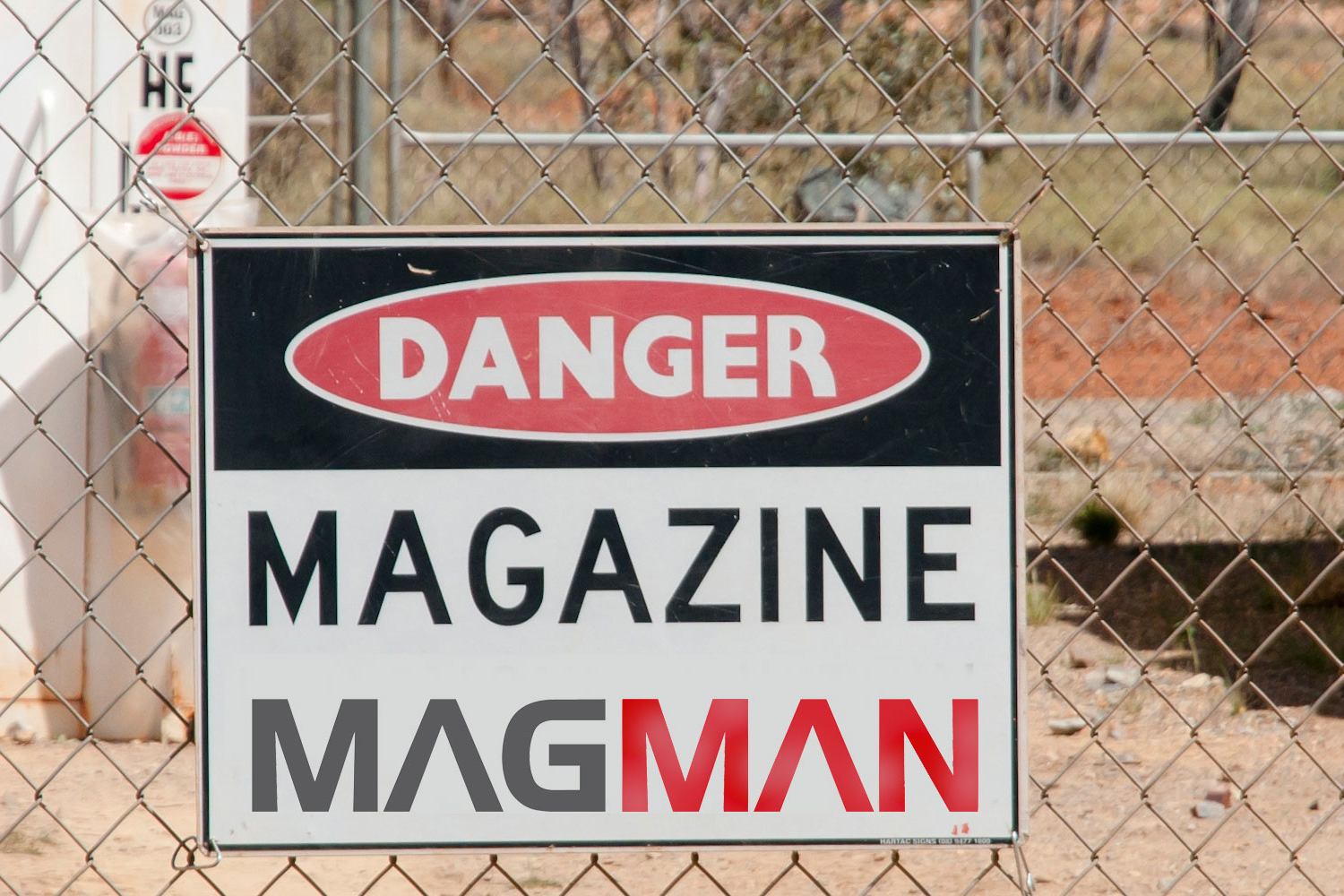
In highly regulated industries every organisation grapples with a mix of compliance, operational and unique site-specific problems. It is within the context of these challenges that Magman (acquired by Digital Terrain in 2023) is applying the lens of true value and embarking on our next round of problems to solve.
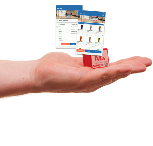
This led us to summarise what problems we solve today, and what we do today – a digital no-nonsense product, built by miners, for miners to help with the management of a magazine for explosives. Making sure that compliance is met, while being easy to use; and we’ve been doing it for over 10 years, so we know a thing or two about what works and what doesn't.
Make it easy: We make it easy to replace paper record keeping in a magazine with legislatively compliant, certified, intrinsically safe tablets and specialist software. Easier said than done because we’ve seen many complex problems to the simple problem of replacing paper records.
Reduce Errors: We reduce the number of errors, with no need to transcribe into error prone spreadsheets with formulas. It’s all done for you. Automatic notification and escalation of errors. The cost of shutting down the operation to resolve an error is enormous. Correcting typos on the go is handy and helps this too.
Improve Accuracy: Large, simplified buttons backed by best practice user processes helps with the repetitive nature of data capture for explosives movement
Efficient blast designs or stope firings: Prevents busy operators from needing to fill out entire takes. This improves speed and efficiency akin to a recipe process.
Elevating governance and risk management: Unmissable notifications that highlighting on stock discrepancies keeps the magazine in check. Peace of mind with notifications that enable 24/7/365 compliance and governance needs with change logs and transaction history for investigation audit trails.
Ease of Reporting: Integrated reporting or export of data to excel, with dashboarding and API options.

Chris Allen – General Manager Regulated Materials (Magman)
- MBA & Mining Engineer
- Passionate about practical solutions through digital innovations
Why Magman
- Specialists in digitising paper for explosive magazines for over 10 years
- Over 70 sites in all states in Australia, across North America, Asia and New Zealand
- Affordable, cost-effective solution to a high-consequence problem
- Sovereign Australian technology
Industries
- Mining/Resources - underground and open-cut
- Transport/Infrastructure development
- Defence
- Law Enforcement
- Government Agencies/ Regulatory Authorities
Transitioning from paper-based options to digital solutions is a crucial step for many industries, including mining. Traditional methods, such as handwritten logbooks and reports, are prone to errors, inefficiencies, and loss of critical information. Digital solutions such as Magman and Simbio offer significant benefits in speed, ease of use, and cost savings. K ey Benefits of Digital Solutions Speed and Efficiency Faster completion of inspections and data collection. Instant information sharing via internet connections. Reduced time for data entry and reporting. Real-time access to reports for all necessary personnel. Ease of Use Efficient and accurate data collection with mobile apps and IoT devices. Simplified processes using barcode scanning, RFID, and standardized forms. Automatic organization and storage of information for historical records and audit trails. Customization Tailored solutions to fit specific business needs and processes. Customizable checklists, forms, and corrective actions. Flexible hosting options (in-house servers or cloud-based solutions). Integration with existing systems and workflows. Cost Savings Elimination of paper and postage expenses. Platforms like Magman and Simbio deliver significant savings per document, including productivity and revenue gains. Substantial cumulative savings when multiplied by thousands or millions of documents annually. Environmental Benefits Reduced paper usage saves trees and decreases carbon emissions. Steps to Successful Digital Transformation Assess Organizational Needs Identify specific requirements and challenges. Determine essential features and capabilities in a digital solution. Select the Right Provider Choose providers offering comprehensive, customizable solutions. Ensure the system can be tailored to business size and scale. Evaluate the benefits of increased proficiency through speed and customization. Invest in Training and Education Provide training to help workers adapt to new technologies. Highlight the importance of digital tools in improving safety and efficiency. Embracing digital solutions is essential for mining operations to stay competitive, efficient, and environmentally responsible. The transition from paper-based to digital systems enables better data management, faster decision-making, and enhanced safety. By focusing on speed, customization, cost savings, and proper training, organizations can successfully transition to a paperless environment. Leveraging technology not only improves operational efficiency but also contributes positively to the environment. For those interested in going paperless, applications like the Magman and Simbio suite provide valuable operational insight and real-world practicality to support this transition.
Magman Stocktake New Features Stocktake compliance and balancing your magazine is a key regulatory requirement. Magman has always been focused on this through proactive alerting and email notifications. This has now been improved further by introducing a new stocktake validation workflow. This workflow prevents other transactions occurring if the magazine does not balance and requires approval via designated persons to proceed past an imbalanced magazine. The updated Magman system ensures seamless regulatory compliance and reduced downtime by enforcing users to complete a stocktake each shift prior to any other magazine transactions, removing any guesswork or administration level controls in the stock validation process and immediately requiring intervention if it does not balance. Here’s the new Magman stocktake workflow: