Digital Terrain acquires Magman
Ian Jansen • December 1, 2022
Digital Terrain is pleased to announce we have completed the acquisition of Magman Mining Software (Magman) from the founding shareholders.
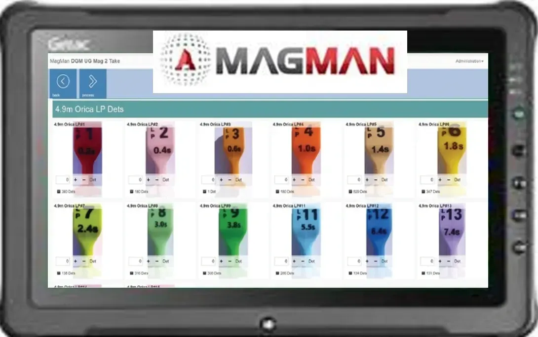
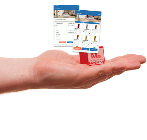
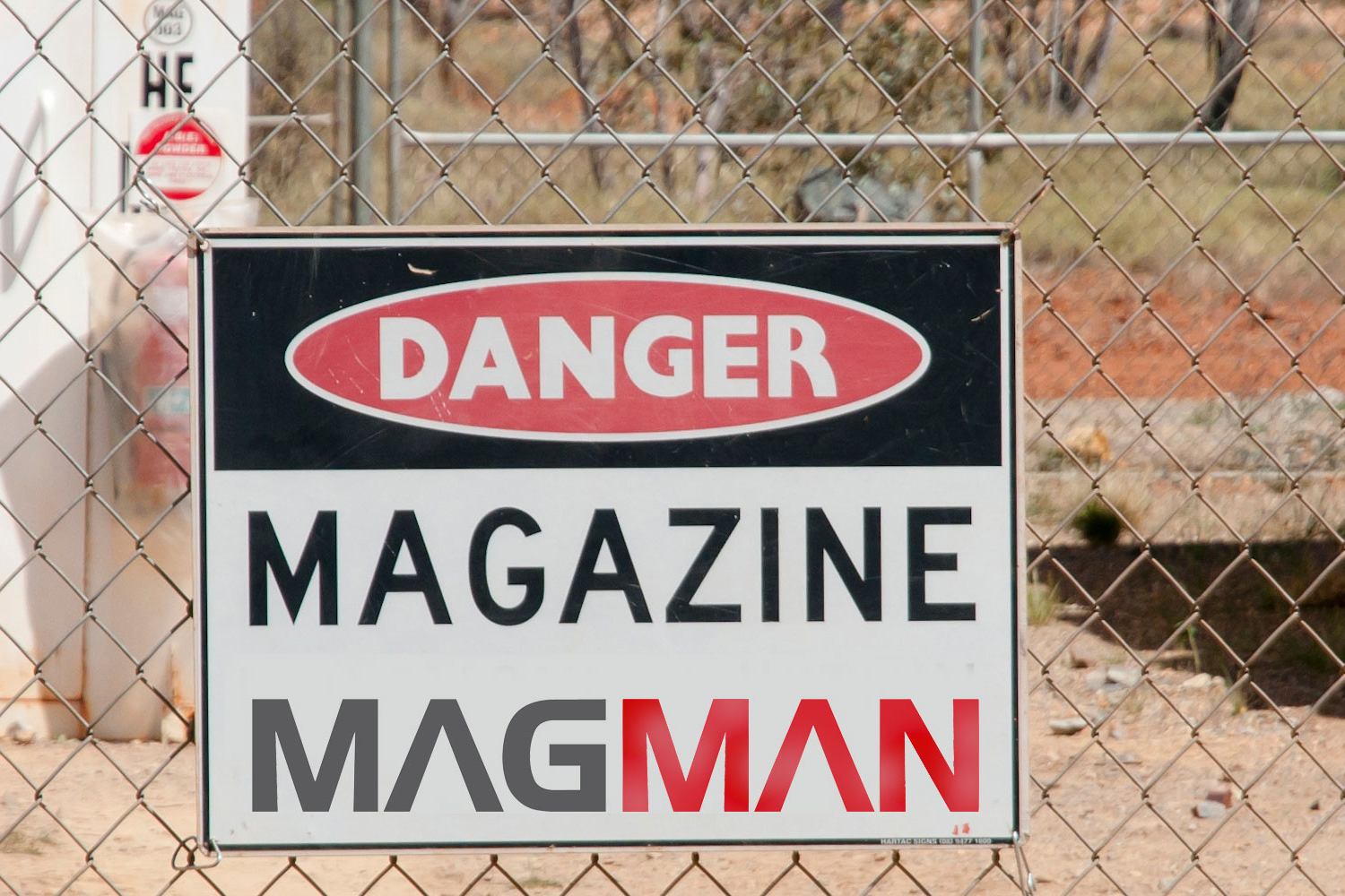
Magman is a widely accepted standard across the industry for paperless explosives magazine management, among other applications. The Magman system provides statutory managers with the platform and tools to ensure their explosive magazines are compliant with the regulators requirements. The specialised Magman tablets are rugged and intrinsically safe and purpose built to eliminate all radio frequency emissions.
"The acquisition of Magman into the Digital Terrain family of products and services means we can seamlessly integrate the solutions to provide the most efficient and complementary process for our end users. We are inheriting a great company with great people which provides greater scale, opportunities for collaboration, and product improvement to benefit both businesses" Andrew Rouse, CEO of Digital Terrain.
Mr Rouse explained that acquiring Magman and enhancing the existing Simbio solution suite will allow customers to leverage the benefits from both systems while minimising duplication. “We will be enriching each system with additional data to provide improved insights into your mine's data and resulting performance, as well as simplifying the end user experience,” he said.
“Following on from the Magman acquisition and other imminent initiatives we will see our numbers grow from a small team of at the start of July 2022 to now approaching 20 within the coming months. “It is great to see our business growing in strength and increasing scale and capability. The core teams within Digital Terrain and Magman are mining personnel who have developed software skills, making them well aware of the challenges our customers deal with on-site and how to help them.”
Magman will continue to operate as a separate business with the same team providing the same high standards of customer service. Digital Terrain will provide management and support services (HR, IT, Commercial, accounts, etc) and strategic direction to Magman, enabling their team to focus on existing and new customers. Both product teams will start to work together and share ideas on product enhancement, development techniques and integration opportunities.
Transitioning from paper-based options to digital solutions is a crucial step for many industries, including mining. Traditional methods, such as handwritten logbooks and reports, are prone to errors, inefficiencies, and loss of critical information. Digital solutions such as Magman and Simbio offer significant benefits in speed, ease of use, and cost savings. K ey Benefits of Digital Solutions Speed and Efficiency Faster completion of inspections and data collection. Instant information sharing via internet connections. Reduced time for data entry and reporting. Real-time access to reports for all necessary personnel. Ease of Use Efficient and accurate data collection with mobile apps and IoT devices. Simplified processes using barcode scanning, RFID, and standardized forms. Automatic organization and storage of information for historical records and audit trails. Customization Tailored solutions to fit specific business needs and processes. Customizable checklists, forms, and corrective actions. Flexible hosting options (in-house servers or cloud-based solutions). Integration with existing systems and workflows. Cost Savings Elimination of paper and postage expenses. Platforms like Magman and Simbio deliver significant savings per document, including productivity and revenue gains. Substantial cumulative savings when multiplied by thousands or millions of documents annually. Environmental Benefits Reduced paper usage saves trees and decreases carbon emissions. Steps to Successful Digital Transformation Assess Organizational Needs Identify specific requirements and challenges. Determine essential features and capabilities in a digital solution. Select the Right Provider Choose providers offering comprehensive, customizable solutions. Ensure the system can be tailored to business size and scale. Evaluate the benefits of increased proficiency through speed and customization. Invest in Training and Education Provide training to help workers adapt to new technologies. Highlight the importance of digital tools in improving safety and efficiency. Embracing digital solutions is essential for mining operations to stay competitive, efficient, and environmentally responsible. The transition from paper-based to digital systems enables better data management, faster decision-making, and enhanced safety. By focusing on speed, customization, cost savings, and proper training, organizations can successfully transition to a paperless environment. Leveraging technology not only improves operational efficiency but also contributes positively to the environment. For those interested in going paperless, applications like the Magman and Simbio suite provide valuable operational insight and real-world practicality to support this transition.
Magman Stocktake New Features Stocktake compliance and balancing your magazine is a key regulatory requirement. Magman has always been focused on this through proactive alerting and email notifications. This has now been improved further by introducing a new stocktake validation workflow. This workflow prevents other transactions occurring if the magazine does not balance and requires approval via designated persons to proceed past an imbalanced magazine. The updated Magman system ensures seamless regulatory compliance and reduced downtime by enforcing users to complete a stocktake each shift prior to any other magazine transactions, removing any guesswork or administration level controls in the stock validation process and immediately requiring intervention if it does not balance. Here’s the new Magman stocktake workflow: